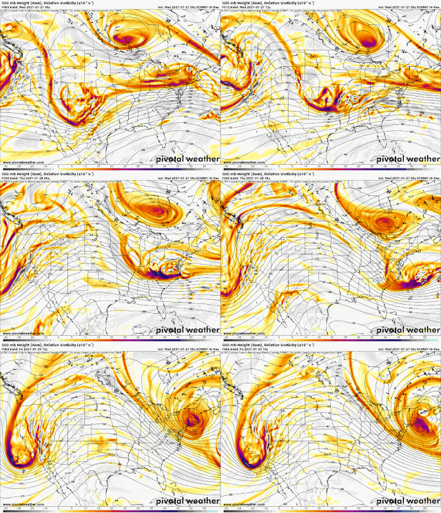
Let's start with the PV. Here is a great image from the Euro (ECMWF) off Pivotal Weather showing the upper level vorticity (spin of the atmosphere or upper level energy) at 500 mb (about 5km or 18000 ft aloft). Watch this piece of the TPV (or polar vortex) break off from just south of Hudson Bay, Canada and roll through our viewing area Friday night into Saturday.
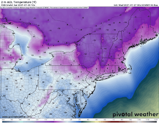
What does that mean? Well, it will bring some bitterly cold temps with wind chills Sat morning of zero to -10
And actual temperatures not much better with a low of around 10 in NYC and single digits to close to 0 N&W of NYC. Bundle up!
And finally, for the snow threat, the 0Z (7PM) Euro was looking like the storm for Tue is something to watch but may be too far east to impact us. It certainly bears watching but right now it looks like the modeology on twitterWx is getting a bit ahead of the meteorology (credit NYNJPA Weather)


No comments:
Post a Comment